Land Cover Updates
Land Cover Systems Update
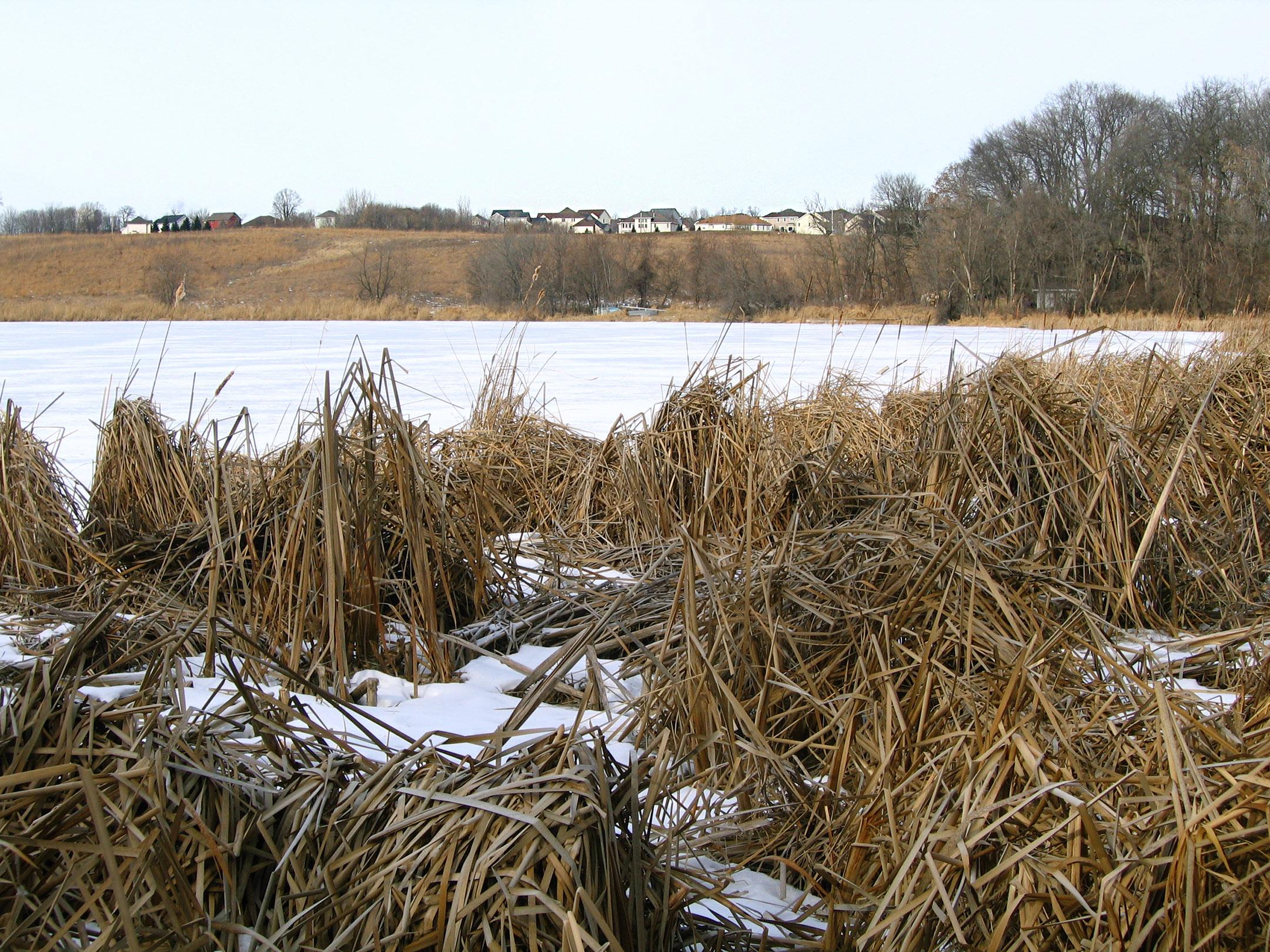
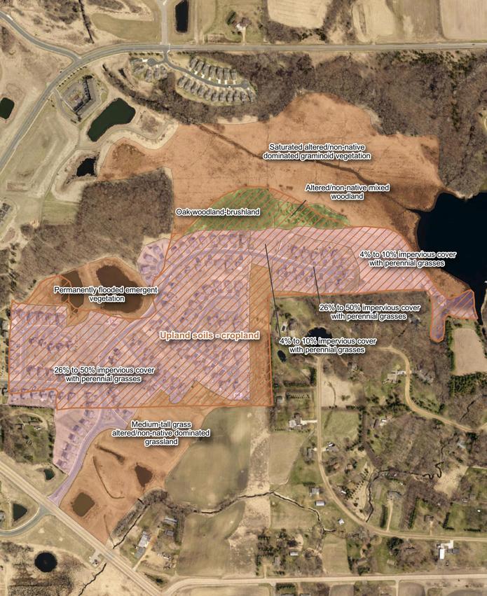
The Minnesota Land Cover Classification System (MLCCS) is a publicly available dataset used to support conservation activities, land use planning and analysis. EOR’s GIS team and natural resources specialists reviewed aerial imagery and relevant vegetation and surface datasets to digitize and update 71 square miles of recently developed areas in Carver County. The team followed DNR’s guide to record standardized land cover.
Client Benefits
- Project management throughout and due diligence of protocol
- Valuable resource for future conservation and land use activities.
Related Projects
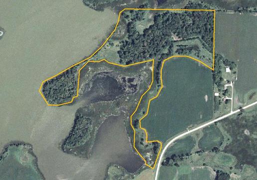
Conservation Easements
Baseline environmental data aids in selecting project restoration and implementation.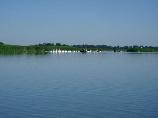
Habitat Restoration
Pelican Lake study addressed phosphorus levels for increased waterfowl habitat.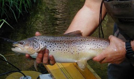
Improving Trout Passage
Road culvert design maintains water flow, promoting fish passage to spawning habitat.