Aquatic Plant Point-Intercept Surveys
Aquatic Plant Point-Intercept Surveys
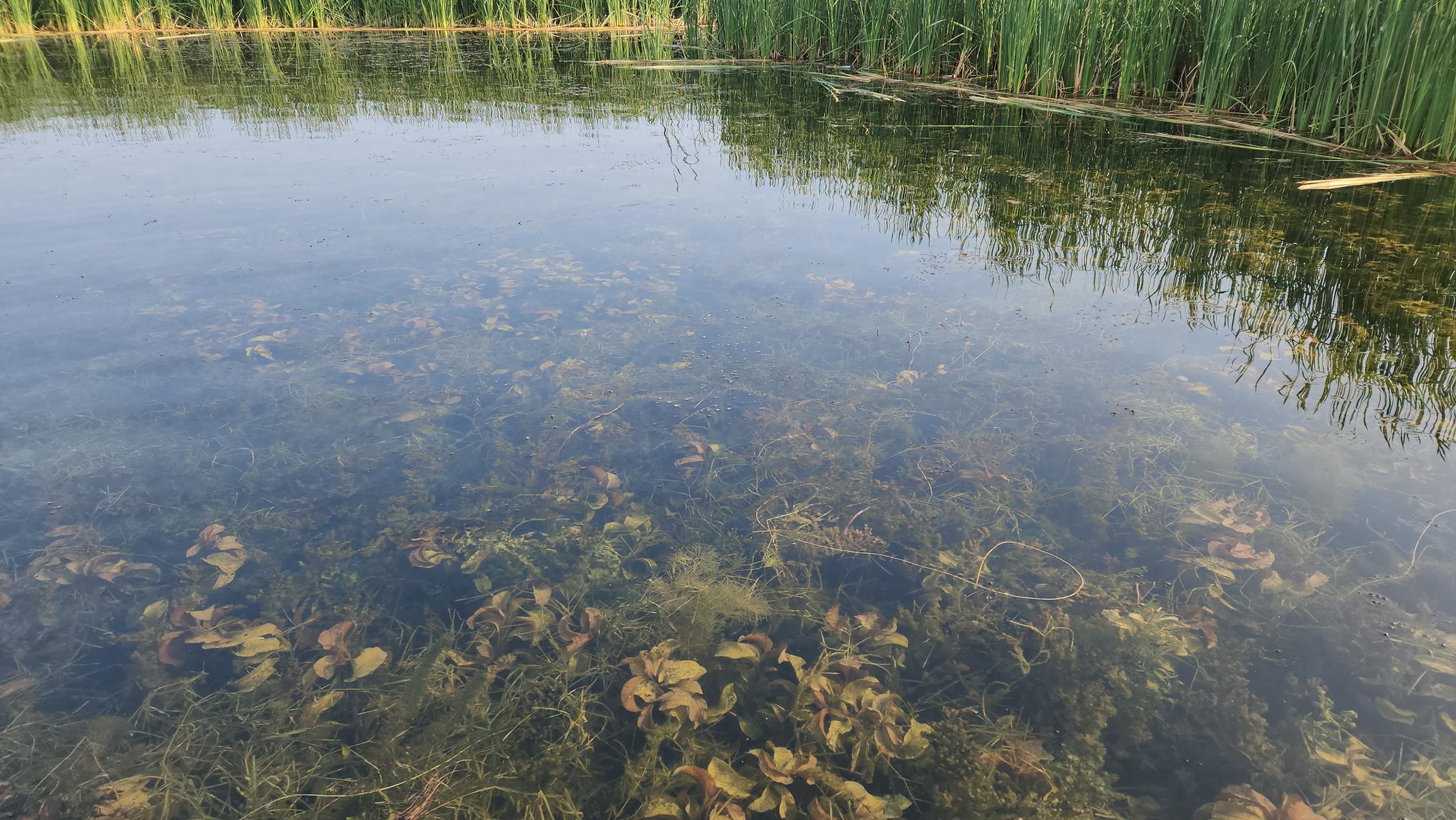
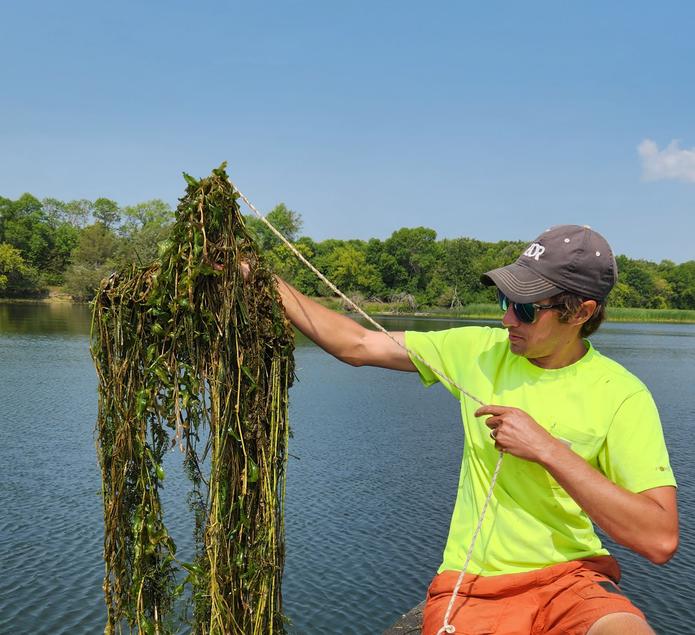
EOR routinely completes aquatic plant point-intercept surveys according to DNR methods for multiple watershed district and government agency clients each year. EOR develops sampling plans and identifies vegetation to species level at each sampling point, taking care to collect and press specimens to ensure accurate species identification. Surveys include large publicly accessible lakes to small lakes and ponds surrounded by private property.
Using a custom data collection application, EOR ensures quality and high-resolution GIS and lake data are collected. Reporting includes floristic quality assessments and comparison to long-term data records as available. EOR is a collaborator with the University of Minnesota’s PI Charter database, submitting data and providing feedback to ensure Minnesota’s aquatic vegetation survey database is taxonomically accurate and a robust data source for water resource managers across the state.
Client Benefits
- Thorough documentation of existing plant communities lake-wide.
- Analysis of plant community health metrics for comparison among and within lakes over space and time.
- Discussion of impacts of in-lake and watershed management on the plant community.
Related Projects
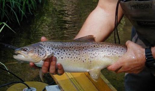
Improving Trout Passage
Road culvert design maintains water flow, promoting fish passage to spawning habitat.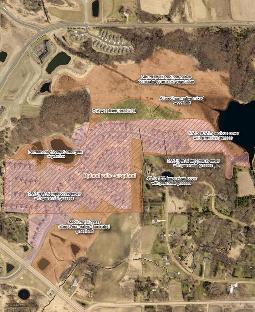
Land Cover Updates
Using GIS to update county information as per state land cover classification system for conservatipon planning.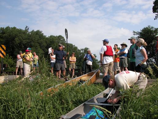
Rice Creek Restoration
One of the largest restorations in MN, this project re-established the watershed's natural hydrology.