Sakatah Lake Shoreline Study
Lake Shoreline Study
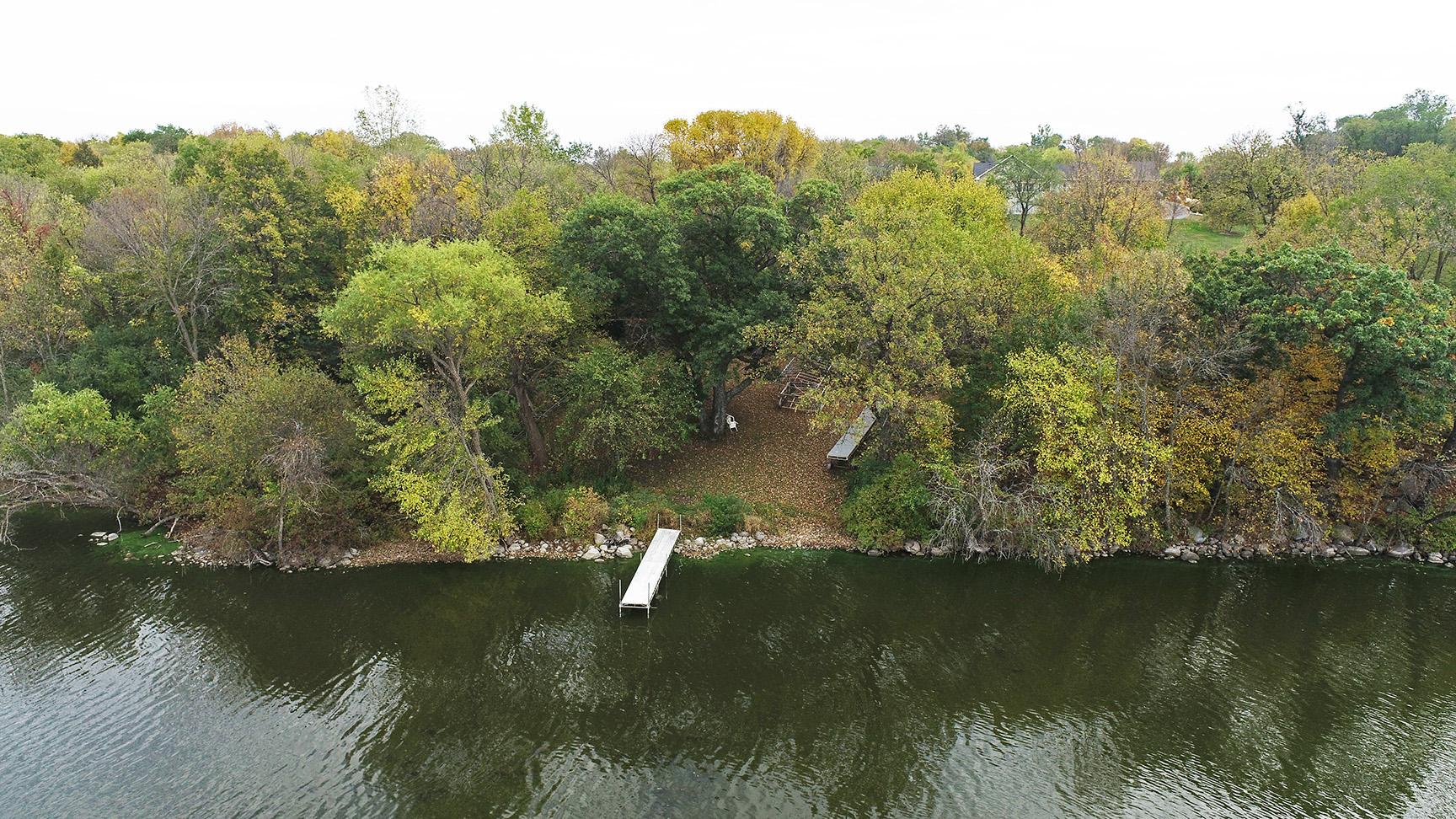
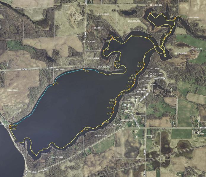
EOR uses drone technology to conduct shoreline surveys from the ground and air simultaneously. A survey of Lower Sakatah Lake, combining aerial imagery and first-hand observation following MnDNR's Score Your Shore framework created a vivid snapshot of lakeshore conditions to establish for a baseline reference for the entire lake. EOR's drone team captured video footage of the entire shoreline, completed editing and post-processing in house.
Client Benefits
- High quality drone video of entire shoreline
- Drone footage provides a view behind immediate shoreline vegetation
- Repeatable flights allow easy comparisons between years
- Video embedded with parcel numbers for easy photo-referencing
- Map of flight route with timestamps at parcel boundaries
- Drone technologies can assist clients on a variety of project types, as shown here
Related Projects
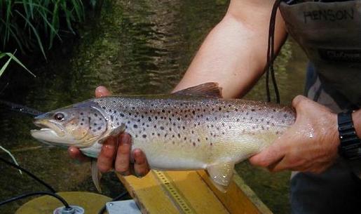
Improving Trout Passage
Road culvert design maintains water flow, promoting fish passage to spawning habitat.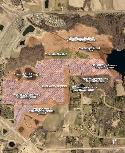
Land Cover Updates
Using GIS to update county information as per state land cover classification system for conservatipon planning.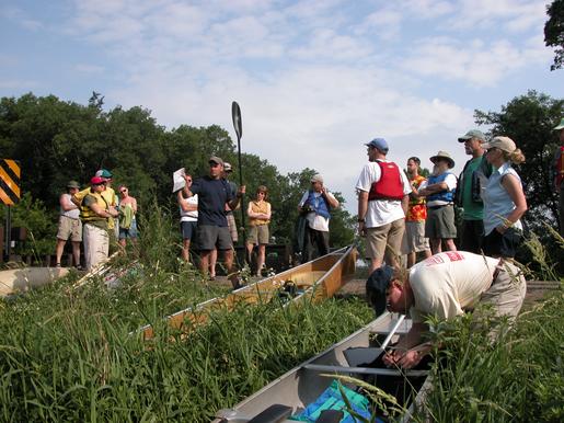
Rice Creek Restoration
One of the largest restorations in MN, this project re-established the watershed's natural hydrology.