Wind Farm Wetland Review
Wind Farm Wetland Review for Re-powering
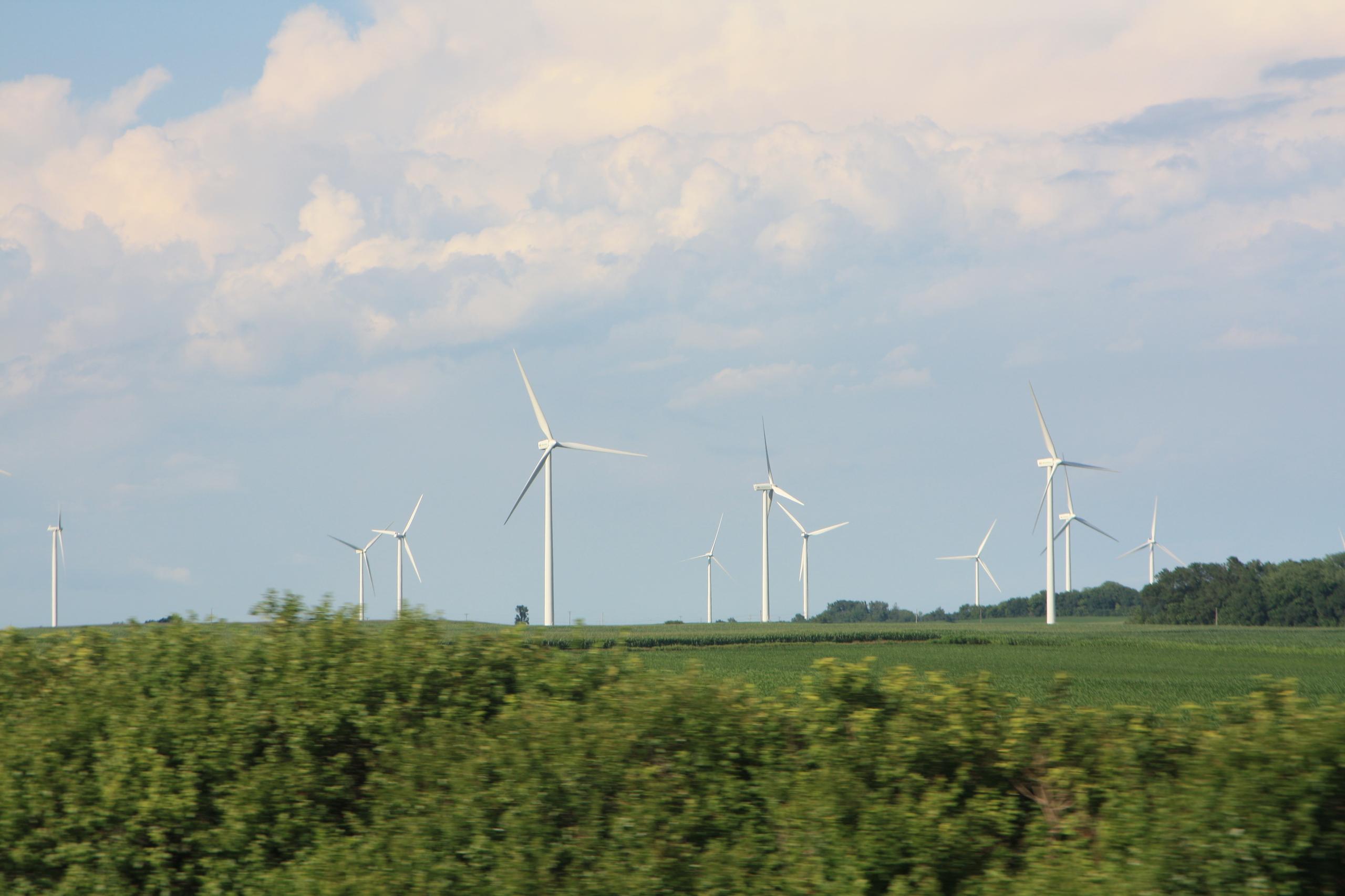
EOR environmental scientists delineated wetland areas to be avoided during the re-powering of a utility-scale wind farm (which requires turbine lay-down). The team conducted a Level I wetland review early in the growing season, identifying preliminary boundaries using four different data layers: aerial imagery, elevation data, water resource, and soil data.
The team completed an onsite Level 2 wetland delineation, identifying over 35 wetlands and covering over 80 sample points in a single day. The data was used to complete a delineation report which guided the client's permitting memo.

Client Benefits
- Timely/rapid completion of detailed information for permitting memo
- Created site guide for the construction of turbine lay-down yards during re-powering
Related Projects
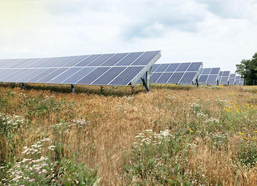
Solar as Restorative Site
Use of community solar gardens to restore wetlands, habitat, and site hydrology.
Wind & Solar Ordinances
Utility-scale wind & solar ordinance revision, research, and stakeholder support.
Fen Monitoring for Utility
Hydrologic, chemical, and isotopic groundwater monitoring for utility crossing.