Conservation Easements
Conservation Easements
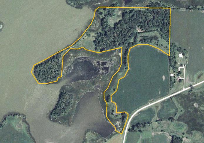
EOR provided Baseline Documentation Reports for multiple sites ranging in size from 10-100 acres over the course of several years. These reports acquired data using off-site aerial photography evaluation, landowner interviews, and site evaluations, and easement boundary confirmation. Two methods were used for environmental data collection:
- MNDNR's Natural Heritage Program's (NHP) key for assigning natural communities a rank on the Element
- Occurrence Ranking Guideline.
- Cowardin Wetland Classification System for mapping and classifying wetland and near-shore macrophyte communities.

Client Benefits
- Baseline Documentation Reports are filed with the easement and can be used for the preparation of Management Plans and aid in decisions on environmental restoration projects.


