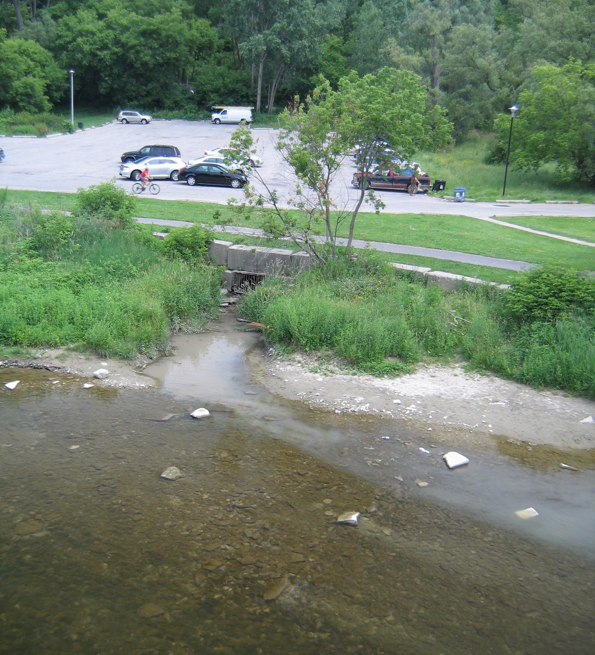
Water Quality & Flood Mitigation
Improving Water Quality and Addressing Flooding Events
With an interdisciplinary team of engineers, scientists, planners and designers, EOR uses advanced data analysis, integrated modeling, and diagnostic studies to support the design of challenging, multi-faceted engineering and aquatic ecology projects to address water quality and reduced community flooding. As such, EOR also serves as watershed district engineers for several entities, where they apply these skills daily in managing local and regional water resources.
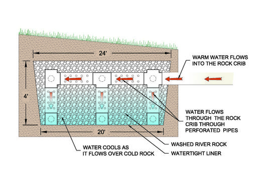
Stabilizing Stream Temps.
Pioneering project designed to reduce thermal impacts to a metro-area trout stream in MN.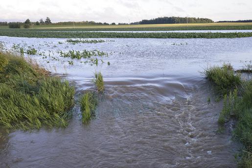
Rural Stormwater Management Model
Advanced, customized model address agricultural BMPs and water quality in rural watershed to Lake Huron.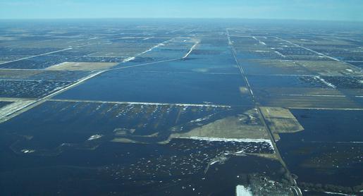
Urban and Rural Resilience
Iowa-designed approach identifies watershed-scale issues to be further addressed at the site-specific level.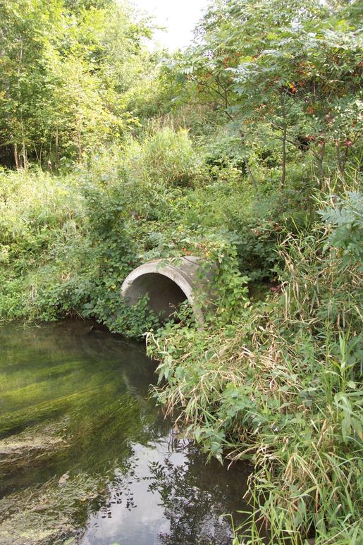
Pollutant Model Evaluation
Created matrix of multiple NPS pollution loading models to aid Michigan in selection of a standardized state model.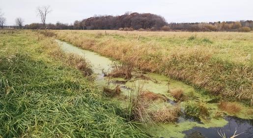
Bixby Park Wetland
Wetland restoration reduced phosphorus loading and improved water quality in Parley Lake.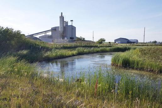
Flood Resilience
Incorporating green infrastructure to address community flooding in Storm Lake, IA.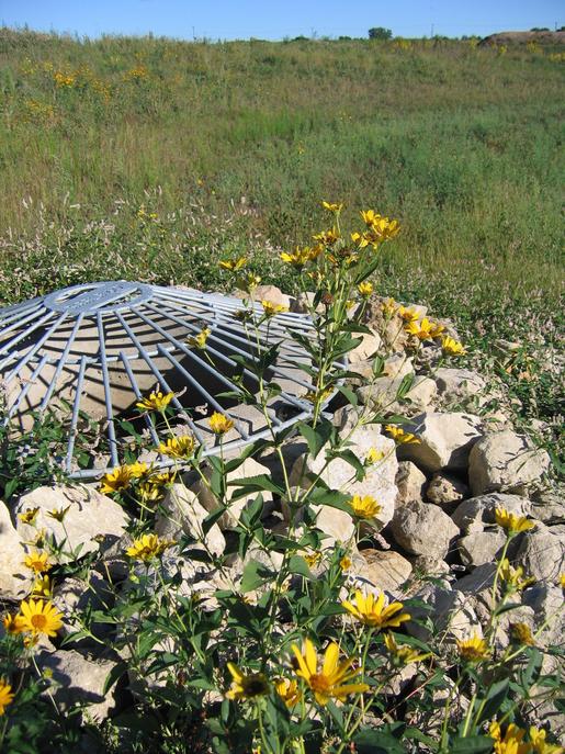
University Campus Improvements
Design of regional infiltration basin (including native plantings) to address stormwater runoff quality & quantity to university wetland.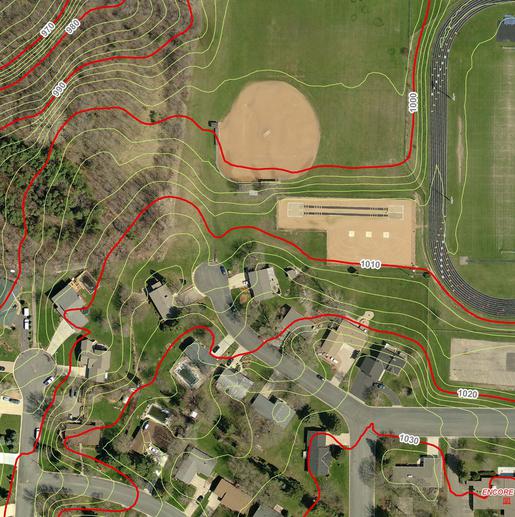
Athletic Field Water Reuse
Retrofit system saves thousands of dollars per year in irrigation costs while contributing to improved water quality for nearby lake.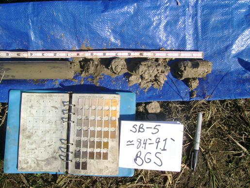
Addressing Karst Geology
Improvements to a development pond located in challenging Karst region of southeastern Minnesota.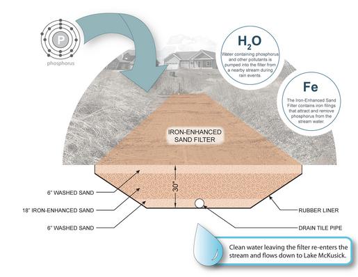
Iron-Enhanced Sand Filter
Innovative design and use of a 'pump & treat' iron-enhanced sand filter (IESF) to improve river and lake water quality.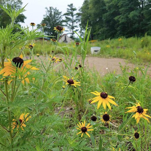
Serpent Lk. Improvements
Award-winning project addresses water quality and flooding concerns for a small cabin community on a Minnesota lake.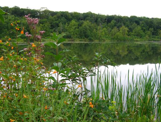
Watershed District Web Mapping
Use of open-source technology in customizing spatial data for improved accessibility for District and public use.
Learn About the Services Provided
Click here for EOR's WATER RESOURCES services
