Wetland Permitting for Hwy. Improvements
Wetland Permitting for Hwy. Improvements
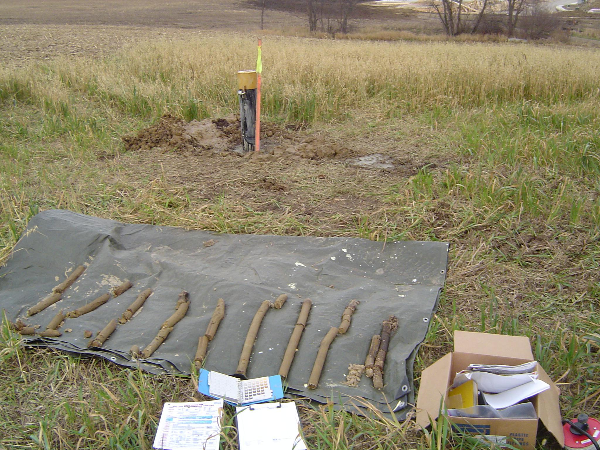
EOR evaluated potential wetland impacts, crafted a wetland mitigation plan, and obtained the required MnDOT permits for the U.S. Hwy. 212 Improvement Project. A total of 112 acres in several intersecting creek corridors that flow to the Minnesota River was transformed into a combination of right-of-way and functional, replacement habit. The replacement included groundwater monitoring and HEC-GeoRAS modeling to identify indirect impacts to calcareous fens and other groundwater-supported wetlands. Pre & post-construction XP-SWMM modeling data was integrated with existing HydroCad modeling data to provide the 2, 10, and 100-yr rainfall event data needed for the design of the hydrologic and vegetation Type 1-3, on-site wetlands.
Client Benefits
- Achieved full on-site mitigation with functional replacement.
- Completed a fast-tracked (6-months) project schedule involving interagency coordination and permit submittals.
- Construction-ready mitigation plans in MnDOT-compatible software substantially reduced costs.
Related Projects
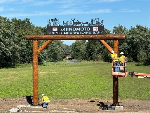
Ajinomoto Wetland Bank
Providing wetland mitigation credits in a flood prone area for wetland impacts due to an agricultural facility expansion.
Iowa Bridge Replacement
Unique cultural approach and mitigation program for a historic bridge in a rural Iowa.
CEA for Pipeline Re-Route
Comparative Environmental Analysis (CEA) for re-routing an existing pipeline below the Pipestone National Monument.